
Service
Mapping & surveillance
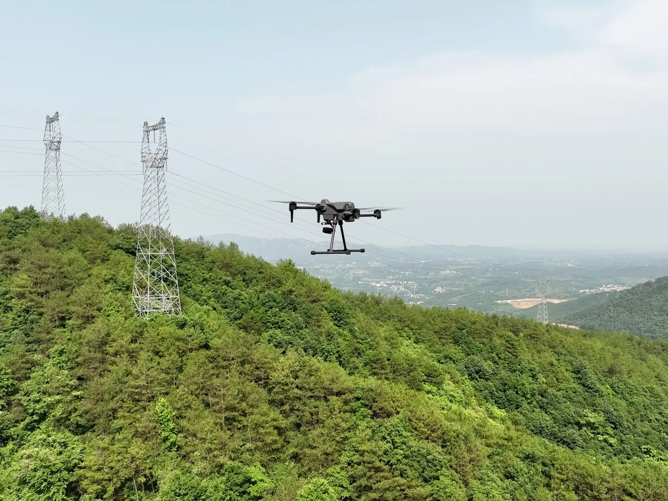
Drones equipped with advanced cameras and mapping software collect data efficiently, map large areas and monitor activity in real time.
The results inform urban planning, land surveying, environmental monitoring and security, improving decision-making and situational awareness.
Equipment
Related equipment
Equipment we supply for this kind of work.
-
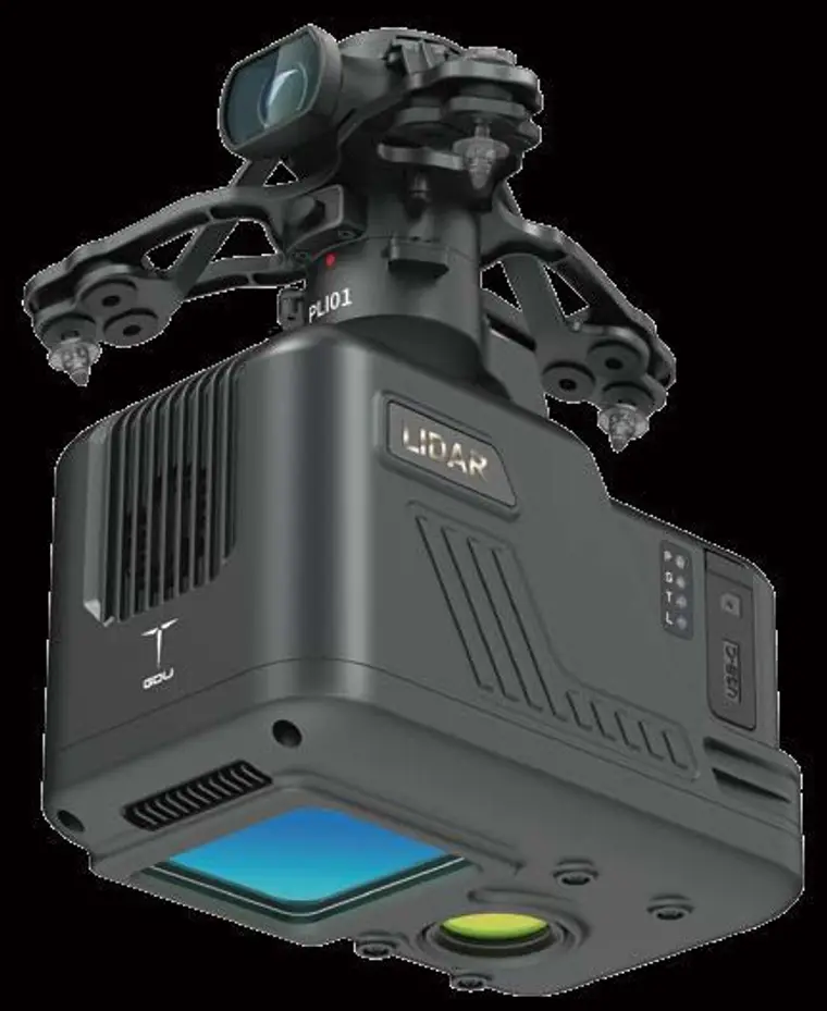
LiDAR sensor
PLI01
A light LiDAR payload that combines the LiDAR, inertial navigation, a control system and a 26 MP mapping camera in one unit, for high-precision point clouds.
View the PLI01 -
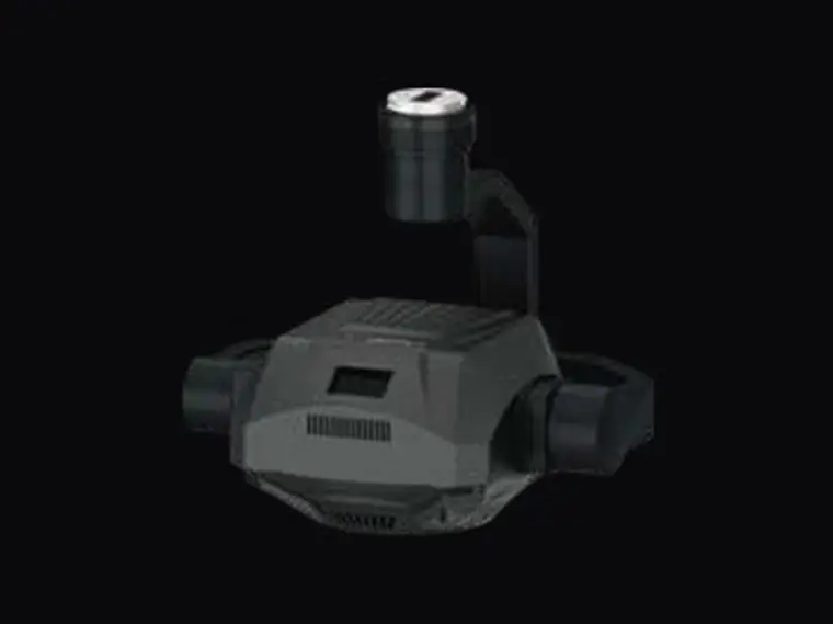
Oblique mapping camera
TQX-S02
An oblique mapping camera with 125 MP effective pixels on an APS-C sensor.
Enquire about the TQX-S02 -
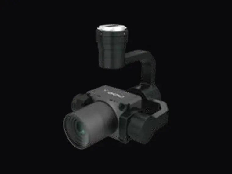
Orthographic mapping camera
TZS-S02
A full-frame 61 MP orthographic mapping camera with a standard 40 mm lens.
Enquire about the TZS-S02
Services
Our other services
Request a quote
Request a quote for mapping & surveillance
We are eager to understand your requirements and provide a tailored solution.