
LiDAR sensor
PLI01
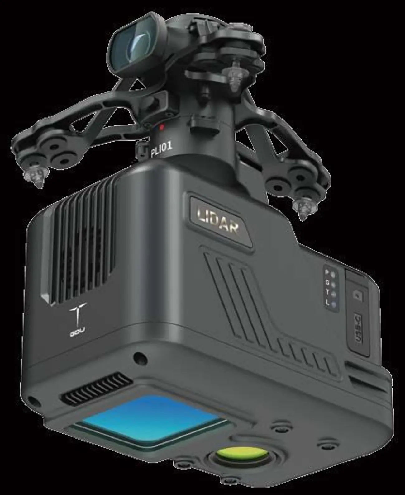
A light LiDAR payload that combines the LiDAR, inertial navigation, a control system and a 26 MP mapping camera in one unit, for high-precision point clouds.
- Ingress protection
- IP54
- Operating temperature
- −20 °C to 55 °C
- Power consumption
- 20 W
- LiDAR ranging accuracy
- 3 cm @ 100 m
Overview
Features
- Triple echo: the point cloud reaches the ground under dense vegetation
- GNSS and high-precision inertial navigation combined for centimetre-level results
- Range up to 450 m at 80 % reflectivity; up to 2 km² in a single operation
- Software for one-click point-cloud processing, automatic route planning and point-cloud defect analysis
- Camera and gimbal in one detachable unit
- Used in surveying and mapping, power, forestry, agriculture, land planning, geological hazards and mine safety
Specifications
Specifications
| Dimensions | 160 × 96 × 152.5 mm (excluding shock-absorbing hanger) |
|---|---|
| Installation | Camera and gimbal all-in-one, detachable |
| Interface | 60-pin (network and serial ports) |
| Ingress protection | IP54 |
| Operating temperature | −20 °C to 55 °C |
| Storage | microSD (max 256 GB); internal 64 GB + 128 GB SD card |
| Power consumption | 20 W |
| LiDAR detection range | 190 m @ 10 %; 260 m @ 20 %; 450 m @ 80 % reflectivity |
| LiDAR point rate | Single return 240,000 pts/s; multiple 480,000 pts/s; triple 720,000 pts/s |
| LiDAR ranging accuracy | 3 cm @ 100 m |
| LiDAR wavelength | 905 nm |
| Scan mode and FOV | Repeat scan, 70.4° × 4.5° |
| Line count | Equivalent to 64 lines |
| INS yaw accuracy (post-processed) | 0.080° |
| INS pitch and roll accuracy (post-processed) | 0.025° |
| INS positioning accuracy | Horizontal 0.02 m; elevation 0.03 m |
| INS update rate | 200 Hz |
| Mapping camera | 26 MP, 83° FOV, fixed-time or fixed-distance shooting |
Request a quote
Request a quote for the PLI01
Whether you have specific questions or want to discuss a potential project, we are here to assist you.