Unleash your business potential with Al Buraq Drone Services
PLI01 LiDar
Engraving a 3D World

World-wide delivery
Flagship Flight Platform
Equipped with advanced technology and sensors, this lightweight professional equipment ensures reliable measurements in diverse environments. Its ability to generate detailed and precise point clouds enables professionals in fields such as surveying, mapping, forestry, agriculture, and more to obtain comprehensive three-dimensional spatial information. The PLI01 Lidar stands out as a valuable tool, providing rich data that can be utilized for a wide range of applications, including land planning, electric power, geological disasters, and mine safety
Versatility in adapting to various environmental conditions

Supporting Triple
Echo
With excellent point cloud penetration of three echoes, even in scenes with high vegetation coverage, you can obtain complete understory terrain data information
High-quality
Point Cloud
Efficient
Operation
One-click
Software Service
Accurate 3D Spatial Data
with Integrated Imaging
One notable feature of the PLI01 LiDar is its integration of advanced mapping cameras, enabling the collection of rich image information alongside high-precision point cloud data. This unique combination empowers users to acquire comprehensive three-dimensional spatial information with exceptional accuracy
Exceptional
Precision
One notable feature of the PLI01 Lidar system is its exceptional accuracy in collecting high-precision point cloud data. With advanced technology and sensors, this lightweight professional equipment ensures reliable and precise measurements in various environments

Introducing PLI01: A Compact Lidar Solution for Precise Spatial Data Collection and Imaging
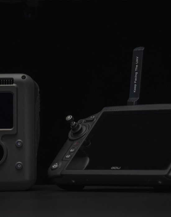
PLI01 lidar is a lightweight professional equipment developed for multi-rotor platforms. It integrates light and compact lidar systems, inertial navigation systems, control systems and high-resolution mapping cameras. It can efficiently collect high-precision point cloud data and richThe rich image information is widely used in the acquisition of three-dimensional spatial information in the fields of surveying and mapping, electric power, forestry, agriculture, land planning, geological disasters, and mine safety.
The standout characteristic of the PLI01 Lidar is its remarkable capability to gather high-precision point cloud data with exceptional accuracy

